Taft Point Trail
Yosemite National Park, California
Here are four photos from the Taft Point Trail in California's Yosemite National Park.
This out-and-back hike is 2.2 miles (3.5 kilometers) round trip with a cumulative elevation gain of about 200 feet (61 meters). It provides an excellent view of the southeastern face of El Capitan, The Fissures, and Yosemite Falls, which was dry during my October visit.
The hike begins at the Sentinel Dome & Taft Point Trailhead on Glacier Point Road, which is closed November to May.

Hikers at Taft Point, left, view Yosemite Valley and El Capitan, right
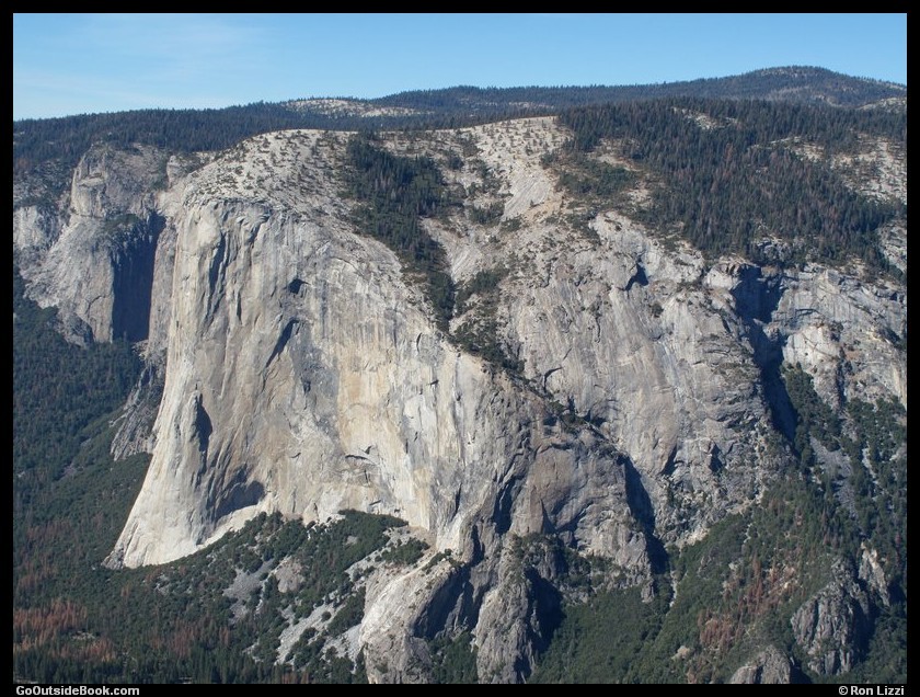
El Capitan viewed from Taft Point
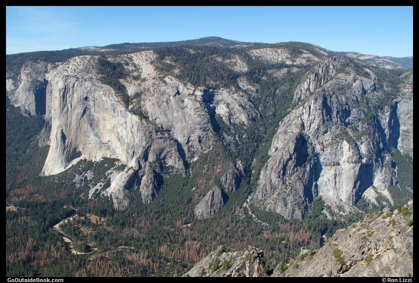
El Capitan, left, and the Three Brothers, right, viewed from Taft Point
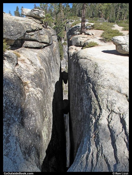
Fissure near Taft Point


