North Dome Trail
Yosemite National Park, California
Here are ten photos from the North Dome Trail in California's Yosemite National Park.
This fantastic out-and-back hike is about 9.5 miles (15.3 kilometers) round trip with a cumulative elevation gain of 2,000 feet (610 meters), including a short spur to Indian Rock Arch, Yosemite's only open natural arch.
The hike begins at the Porcupine Creek Trailhead on Tioga Road, which is closed November to May.
While the views of Half Dome and Tenaya Canyon are breathtaking from North Dome, one could shorten the hike by finishing on Indian Ridge prior to the steep descent to North Dome. As the eighth photo below shows, one would still get an excellent view.
These photos were taken on October 7 in the late afternoon, when sunlight hits the north face of Half Dome.
The photos from North Dome (taken from here) are presented first, followed by ones that are progressively closer to the trailhead.

Panorama of Tenaya Canyon, with Clouds Rest, left, Half Dome, center right, and Mt. Starr King, far right, viewed from North Dome
Click the photo for a larger version

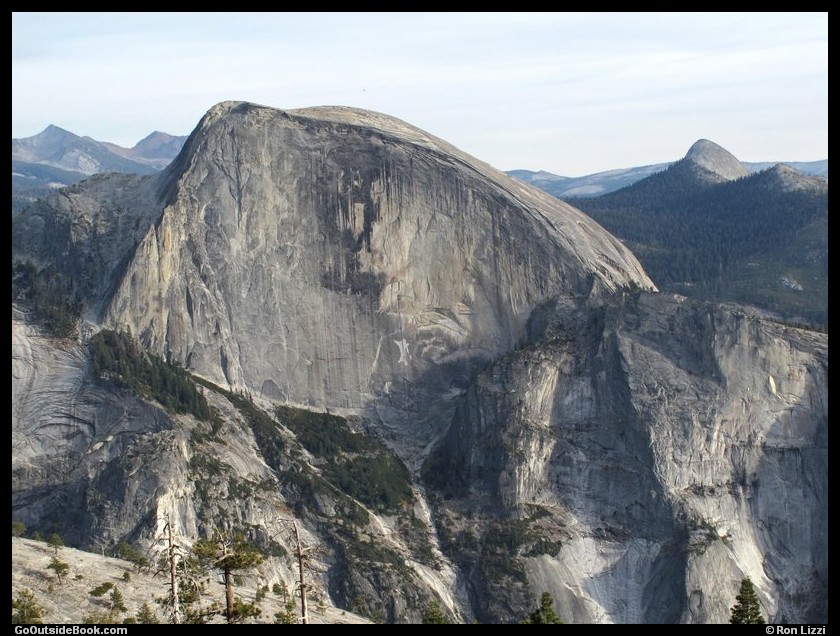
Half Dome viewed from North Dome
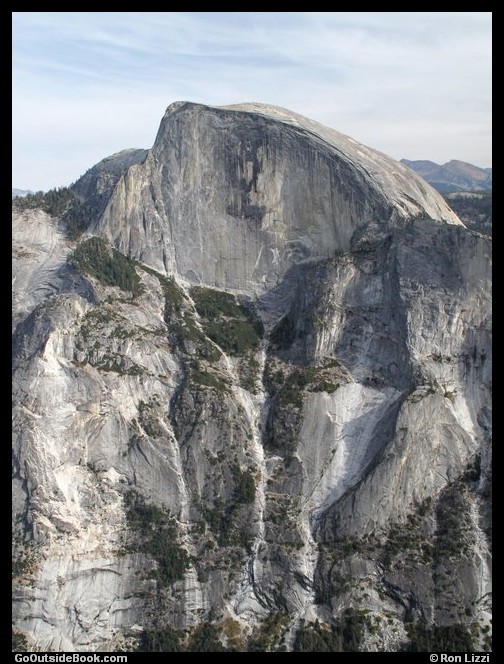
Half Dome viewed from North Dome
Clouds Rest, left, and Quarter Domes, right, viewed from North Dome
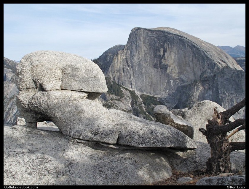
Shoe-like rock on North Dome with Half Dome in the background
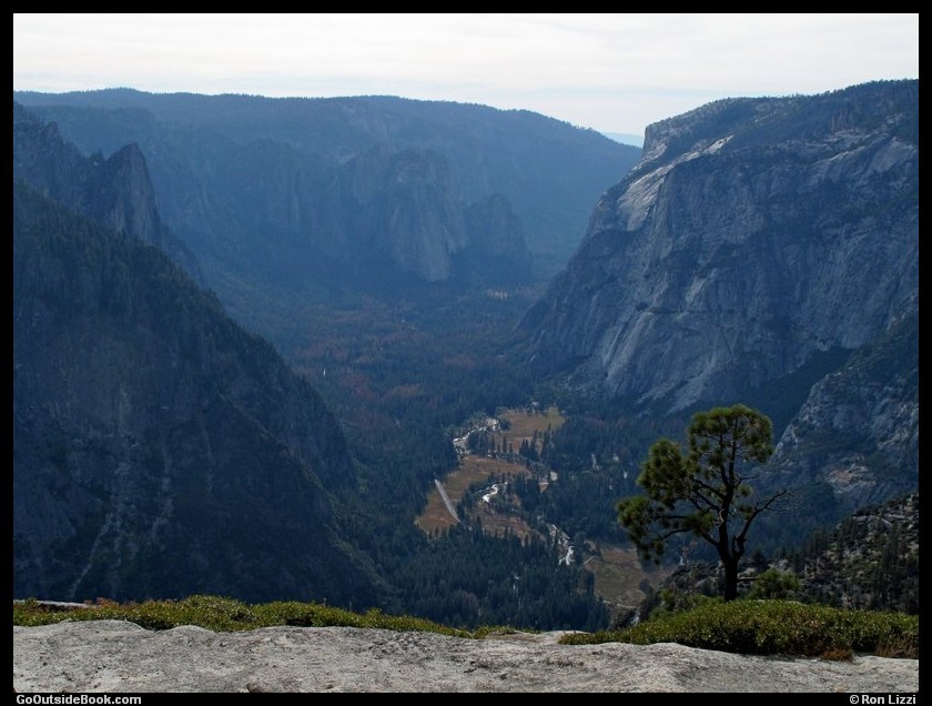
Yosemite Valley and the tip of El Capitan, center right, viewed from North Dome

Trail to North Dome, top, viewed from Indian Ridge
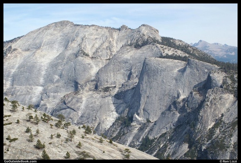
Half Dome and Mt. Starr King, far right, viewed from Indian Ridge
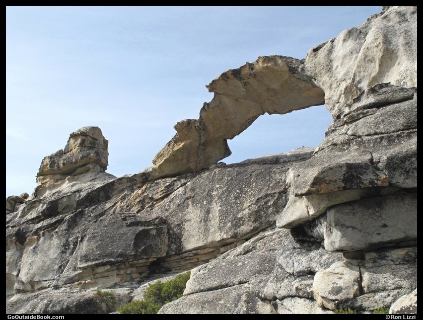
Indian Rock Arch (about 15 feet tall)
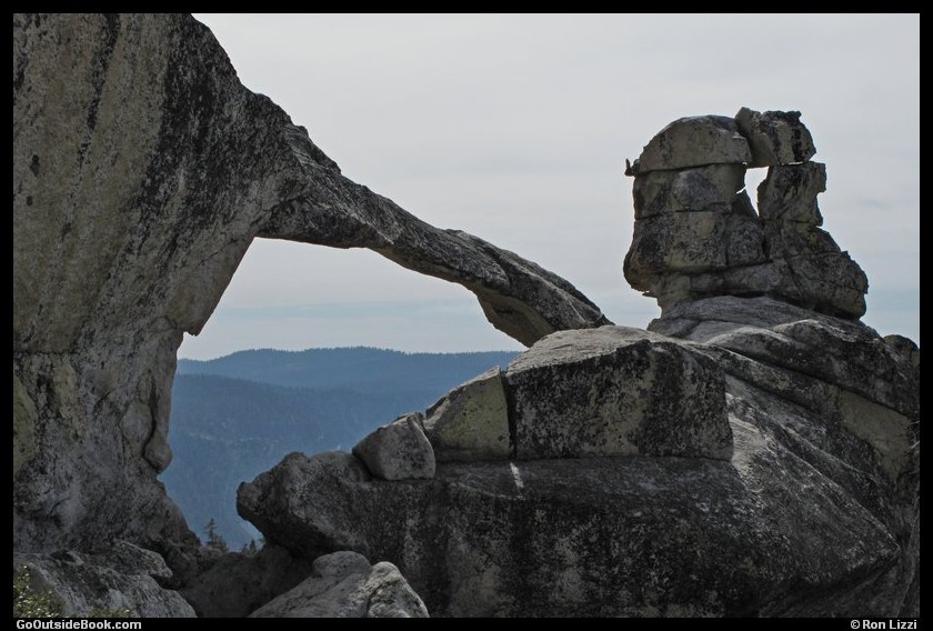
Indian Rock Arch


